Route to School Maps
Maps can be an effective tool for boosting active school travel by providing families with visually engaging information about walking and cycling routes, park and walk locations and school zone traffic rules. Click on the thumbnails below to see different examples.
Walk to school
Niagara Region Park Walkability
Developed by Niagara Region Public Health
Software: ArcGIS
Data Sources: ArcGIS (Streets)/Local Area Municipalities (Crossing Guards)/Niagara Region (School & School Walkability Buffers)
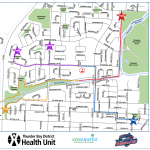
Thunder Bay School Routes Map
Developed by EcoSuperior and Thunder Bay District Health Unit
Software: ArcGIS
Data Sources: School Boards & Student Transportation Authority
(Location of students’ homes in the walk zone)
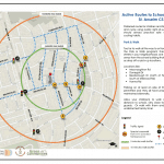
Toronto Active Routes to School Planner
Developed by Green Communities Canada
Software: OpenStreetMap (base map)/Word
Data Sources: City of Toronto Interactive Map/Google Map
Park and Walk
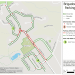
Waterloo Parking Map
Developed by the Student Transportation Services of Waterloo Region
Software: QGIS online
Data Sources: Google Maps/Municipal Crossing Guard data
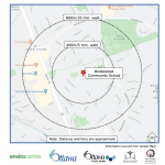
Ottawa Walk-a-Block
Developed by Ottawa Student Transportation Authority
Software: Word document
Data Sources: Google Maps
Bike to School
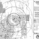
Ajax Bike to School Map
Developed by the Town of Ajax
Software: ArcGIS
Data Sources: Town map data
School Zone Drop-off and Pick-up
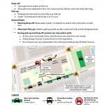
Toronto Drop-off and Pick-up Planner
Developed by Green Communities Canada
Software: MS PowerPoint & Adobe Acrobat Pro
Data Sources: School administration/Site visit


